Study Area
The Project considers two areas of bushfire risk in the context of:
- Overall Municipal bushfire risk, and;
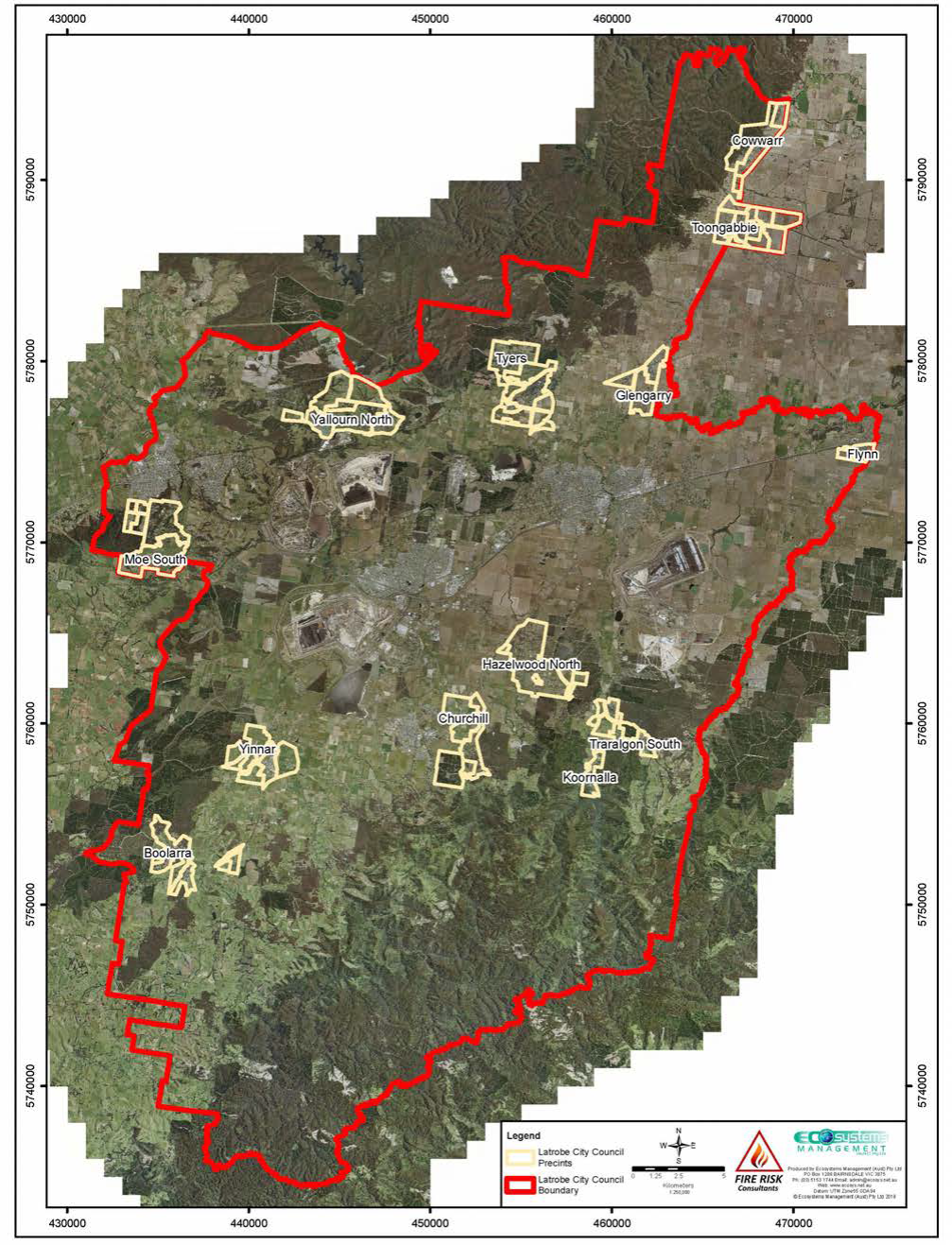
- Targeted assessments for locations identified on the below Rural Framework Plan (Latrobe Rural Land Use Strategy 2019) and includes small and district townships, and locations identified for future investigation and inclusion within either a Rural Living Zone or Farming Zone, Schedule 2.
Background - COMPLETED
Like many local government areas in Victoria, large areas of Latrobe City are prone to bushfire. The highest risk areas, where bushfire behaviour may be extreme (including the possibility of crown fire, extreme ember attack and significant radiant heat) are subject to the Bushfire Management Overlay (BMO).
High hazard areas include rural residential areas in the vicinity of the foothills of the Strzelecki Ranges and southern fall of the Alpine Ranges, where development could be exposed to long bushfire runs through high fuel hazard forest vegetation. Grassland fires and fires in bushland reserves and plantations also pose a risk to development across the municipality.
Bushfire risk may be reduced through the planning and building system by ensuring statutory compliance in BMO areas; compliance with the building regulations in Bushfire Prone Areas (BPA) outside of the BMO; and, for strategic planning and larger or more vulnerable developments, requiring consideration of bushfire risk as at Clause 13.02 Bushfire (Latrobe Planning Scheme).
The Latrobe City Rural Land Use Strategy (2019) identified demand for an additional 435 rural living lots across the municipality over the next 15 years. In response to this projected demand the strategy identified a number of possible future rural living precincts. These precincts, along with additional sites identified by submitters to Amendment C105 Live Work Latrobe and an assessment of Council’s GIS mapping database are the focus of this project. A number of precincts have been identified for further investigation and inclusion within Farming Zone, Schedule 2 during the exhibition and submission process for Amendment C105.
To inform this work, a Municipal Bushfire Risk Profile Report is being developed which will identify and assess bushfire risk and provide recommendations regarding future land use and development planning within the context and requirements of the Latrobe Planning Scheme (Clause 13.02 [Bushfire]).
Latrobe City Council commenced this project in mid 2019 in collaboration with the Department of Environment, Land, Water and Planning (DELWP). Fire Risk Consultants were engaged by Latrobe City in May 2019 to undertake the technical assessment of fire risk, in collaboration with Town Planning Co.
The completed assessment and recommendations within the Municipal Bushfire Risk Report will underpin future land use planning decision making where the consideration of bushfire risk is necessary.
More immediately, the bushfire risk assessments will inform preparation of future Planning Scheme Amendment(s) to progress future Rural Living and Farming Zone, Schedule 2 being applied and the progression of small town structure plans.
Next Steps – Planning Scheme Amendment - CURRENT
Amendment C127 Bushfire and Rural Rezoning implements the findings of the draft Municipal Bushfire Risk Assessment 2020 and the draft Rural Living Strategy 2020 into the Latrobe Planning Scheme.
Please see the Amendment C127 page here for up-to-date information on the status of this amendment.
Further information
For further information, phone the Strategic Planning Officer on 1300 367 700 or email Latrobe@latrobe.vic.gov.au.
Related Documents
Draft Latrobe City Municipal Bushfire Risk Assessment July 2020
Related Links
Amendment C127 Bushfire and Rural Rezoning